In the Weeds: An Invasive Plant Tracking App
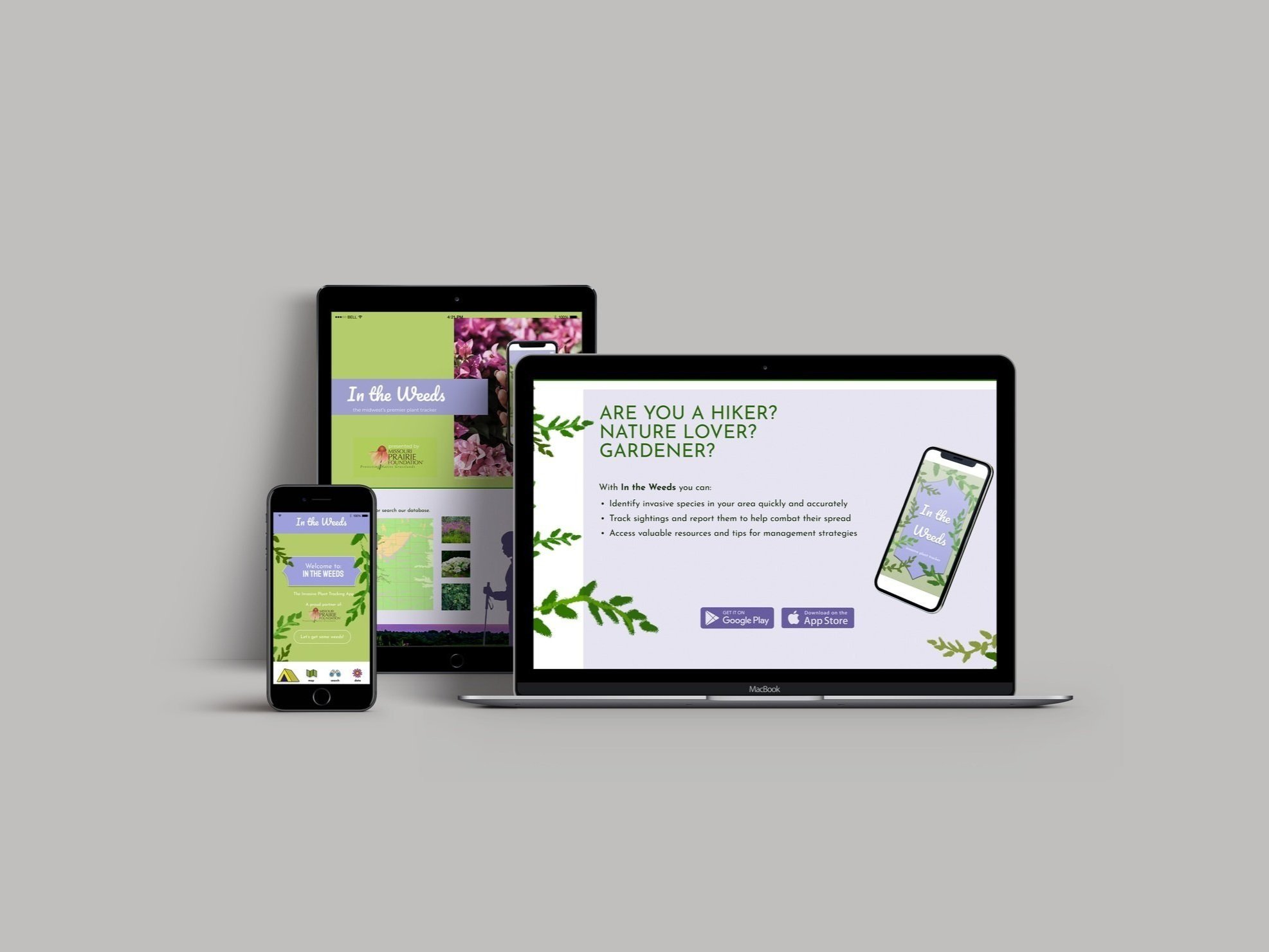
Promotional pages for downloading the app, and in-app landing page.
The map and pin features, the loading screen, and the data section.
Close up of UI elements, based around a hiking theme.
Images of pages in Figma, featuring a pastel color palette to emphasize the pastoral theme, and lino print inspired details.
As a passionate environmentalist, I wanted to design an app that allows users such as hikers and nature-lovers to track invasive flora on the go. While there are numerous apps to help manage house plants, gardens, and watering schedules, there are surprisingly few apps that compile data on when and where invasive species are seen. Of course the scope is almost unfathomably broad, so I chose to contain it to just Missouri and Kansas for the time being.
As with many data-driven apps, the information can feel rather dry, so I chose to design whimsical, folksy elements for my app, with a palette of soft pastels, an outdoorsy theme to the icons, and textures inspired by my linocut prints of local flora.
In The Weeds contains a search feature so the user can look up what plant they are seeing, a map icon where one can drop pins in order to generate a heat map of where the most invasive species are popping up, and informational fly outs to educate users on exactly what type of invasive plant they are seeing, where the plant originated, and what actions are recommended.
See some of my research and initial sketches here.


